
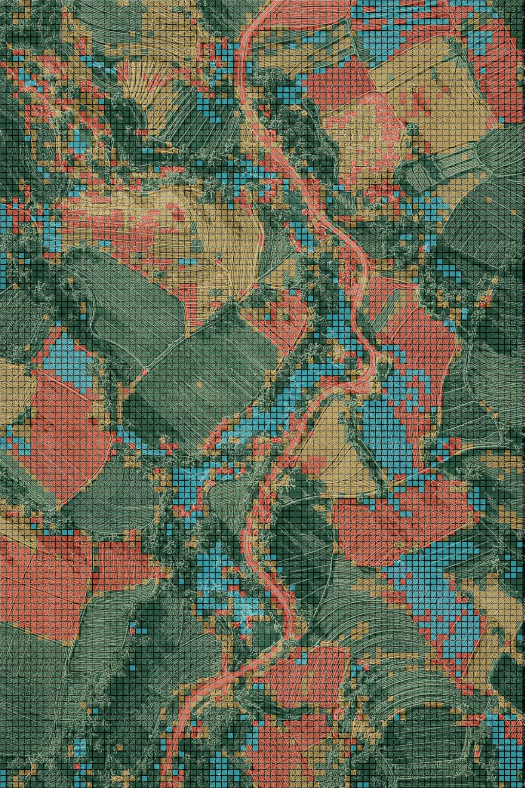
One field, two views.
The terrain never changes, only the layer on top. When both views are clearly the same place, the difference does the talking.
Making satellite data legible at a glance.
Terraflux reads satellite scans of farmland and shows which parts of a field are doing well, and which need attention.
But “satellite intelligence” means very little to a farmer. The familiar ad sells the satellite: what the company has, not what it does for the person watching.
The challenge: make an abstract, technical product feel immediate, in the few seconds an ad gets.
We stopped looking from orbit, and went down to the field.
try it · move the lens over the field
an illustrative read of the campaign image · not live crop data
H-12
rows 12–19 · go here first
south-west block
west terrace
01 · the problem
Terraflux is a fictional agricultural intelligence company. Its product reads satellite scans of farmland and shows which parts of a field are doing well and which need attention.
The product is strong. The difficulty is getting anyone to understand that in the time an ad gets. “Satellite intelligence” means very little to a farmer, and the familiar way to advertise it is to lean on the technology: a satellite above the Earth, a line about seeing more, a row of feature icons. That describes what the company has, not what it does for the person watching.
The challenge was to make an abstract, technical product feel immediate to someone with no reason to care about the technology, using the advertising alone.
02 · the idea
The campaign is built on one move: the same field, seen two ways. First as farmland looks to anyone, then as it looks once it has been read: stronger and weaker areas separated, and the places that need attention easy to spot. The shift between the two views is the product. Once you’ve watched it happen, you don’t need the technology explained to you.
The line that carries it: know where your fields need you. It turns what the satellite sees into where a person should act, which is the only part a farmer actually cares about.
03 · the system
The terrain never changes, only the layer on top. When both views are clearly the same place, the difference does the talking.
1.0 sEarly cuts let the scan drift. It was tightened to about a second, so it lands as an instant, not a process.
Colour separates strong from weak. Roads and water stay visible so a field full of data still looks like a place. Nothing is there to look technical.

The orbital view explained the technology but not the value. The work moved down to the field, where the value is felt.
The terrain stays constant and only the layer on top of it changes. That’s what makes the comparison work. If the ordinary view and the analyzed view look like two different places, the eye has to work to connect them. When they’re the same place, the difference does the talking.
Early versions let the scan drift and the result blur. Testing showed two things: the scan had to happen quickly, fast enough to feel like an instant rather than a process, and the gap between the original fields and the analyzed ones had to be much easier to read. A viewer should understand what changed without needing to study the frame. The pacing was tightened and the contrast between the two views pushed until the shift was unmistakable.
Colorful data grids separate stronger areas from weaker ones. Highlighted roads and waterways keep the viewer oriented, so a landscape covered in data still looks like a place they’d recognize. A subtle shimmer marks the moment of reading, so the eye knows something is being processed. Nothing in the frame is decoration, and nothing was added to look technical.
The first direction leaned on familiar orbital imagery, a satellite above the Earth with a rhyming line to match. It explained the technology but not the value, and it could have been the campaign for any satellite company. The work moved down to the field, where the product’s value is actually felt.
04 · the campaign, in the world
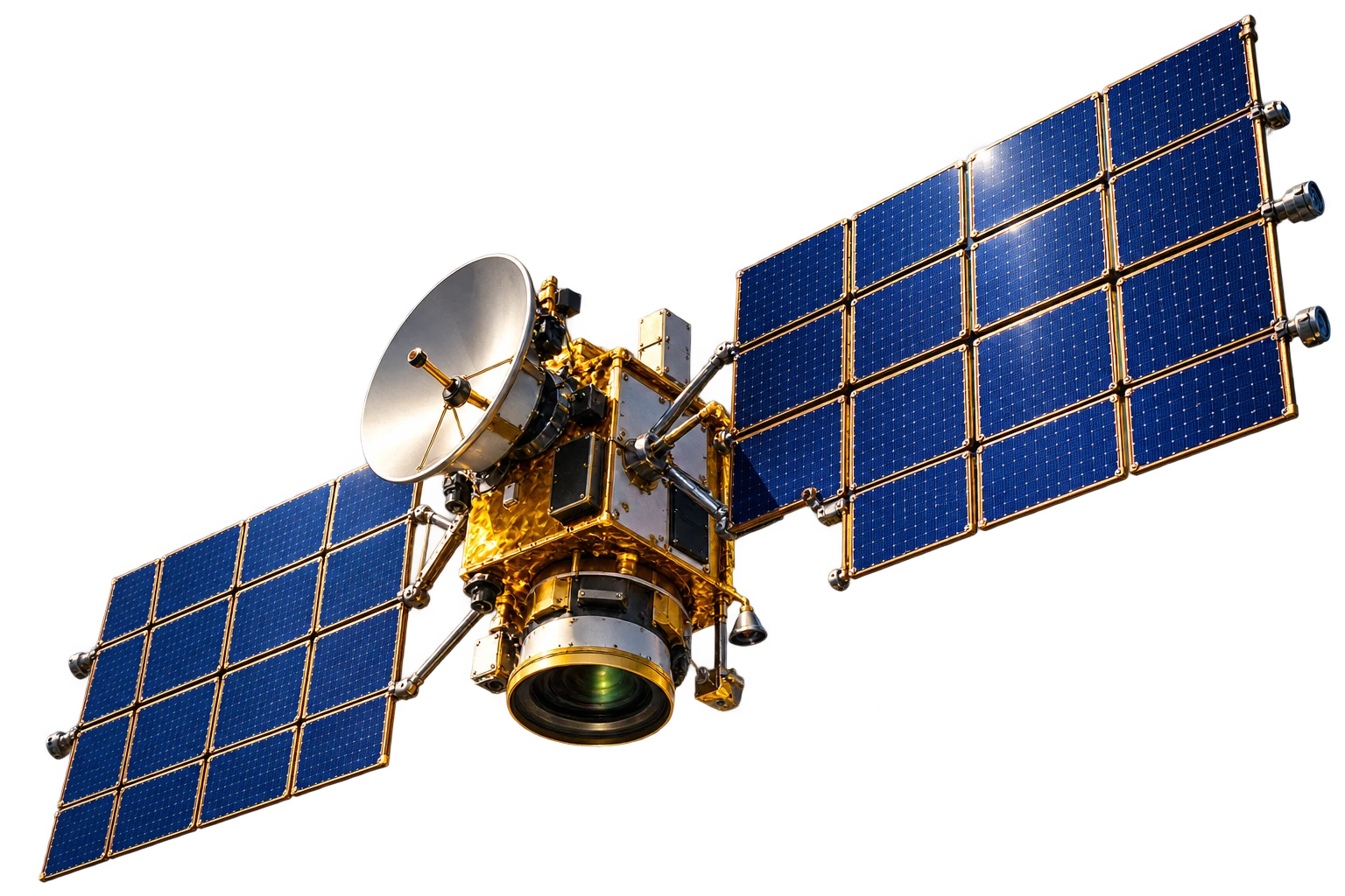
The technical process was also explored as something to show on screen: satellite equipment scanning the land, and insights reaching a farmer through a phone app. It conveys the whole chain from orbit to pocket without making it the headline.
Three shots, twelve seconds. The farm as it looks, the field as it’s read, and the line on the last frame.
rows 12–19are drying faster than the rest. Worth a look before Thursday.

05 · where it started
The orbital image opened the conversation. It explained the technology but not the value, and it could have been the campaign for any satellite company. The field gave it a reason to matter.
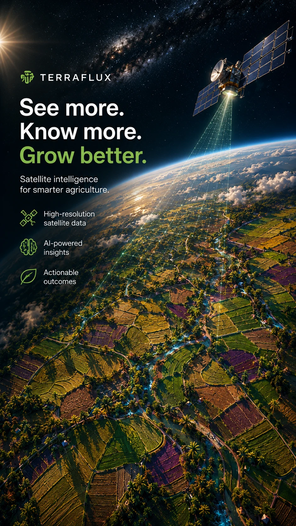 first direction
06 · what it shows
The question a product like this answers isn’t what the satellite sees. It’s where the farmer should go. Everything in this campaign is built to answer that in a glance.
That is the work KeepNorth does for technical products: find the one thing a person needs to understand, then build a visual that lets them understand it without being told. Cinematic imagery does the explaining, so the copy doesn’t have to.
Complex products rarely need better explanations. They need the moment where the complexity becomes obvious.